
SunSky Drones delivers professional drone-based inspection, surveying, and data intelligence services for infrastructure, energy, construction, and industrial sectors. We capture high-accuracy aerial data using advanced drones, sensors, and analytics to enable safer inspections, faster decisions, and reduced downtime. From power transmission lines and solar assets to LiDAR mapping and industrial surveys, our solutions replace traditional, risky, and time-consuming methods with precise, scalable, and cost-effective drone operations.
SunSky Drones, founded by Suraj Ghosh, is a professional drone services company delivering advanced aerial inspection, survey, and mapping solutions across Kolkata, West Bengal, and beyond. With over 6 years of hands-on industry experience, we combine cutting-edge drone technology with skilled expertise to help organizations inspect, analyze, and plan with greater accuracy and safety.
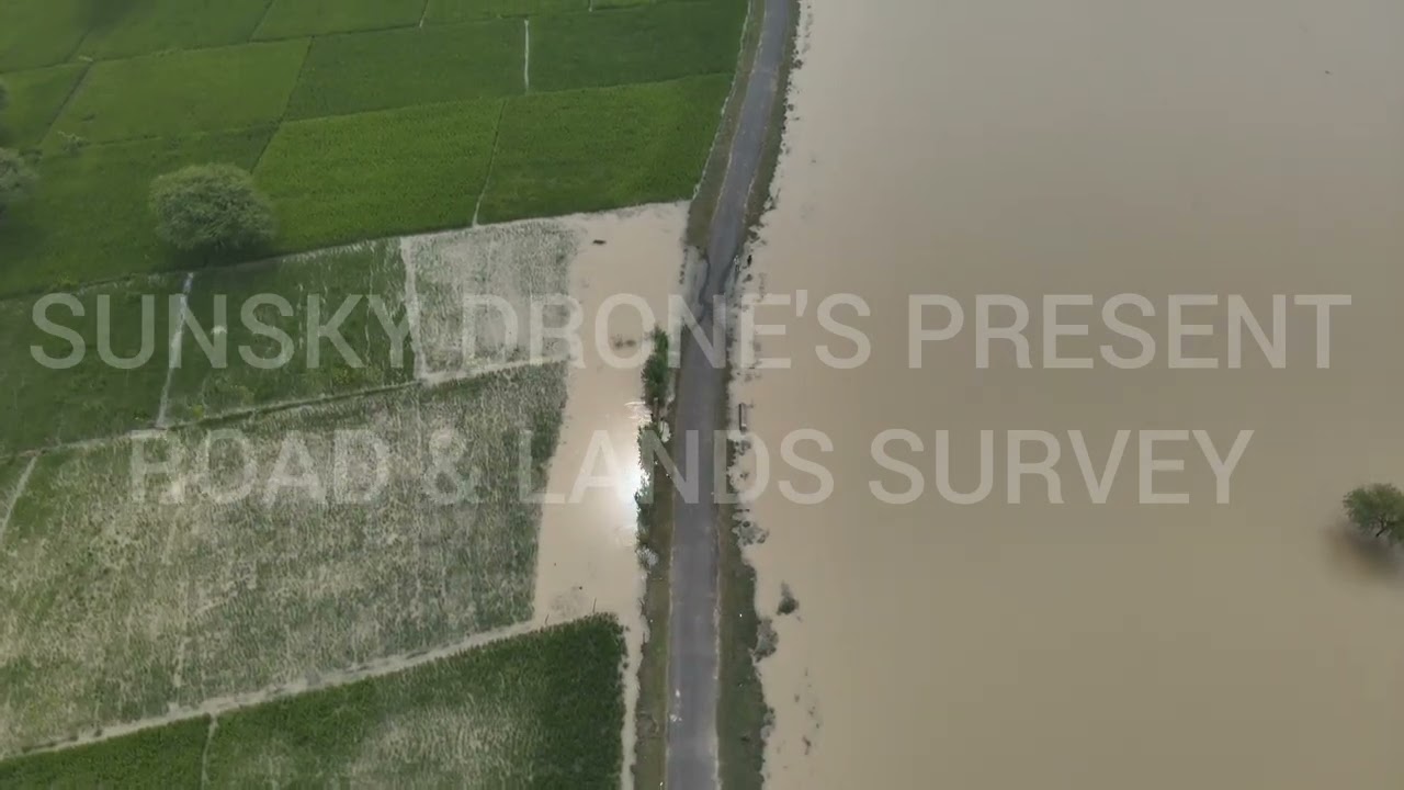
Our mission is to enable smarter decision-making through reliable aerial data—serving critical sectors such as power plants, transmission towers, infrastructure projects, land and topographic mapping, road and railway corridors, and aerial videography.
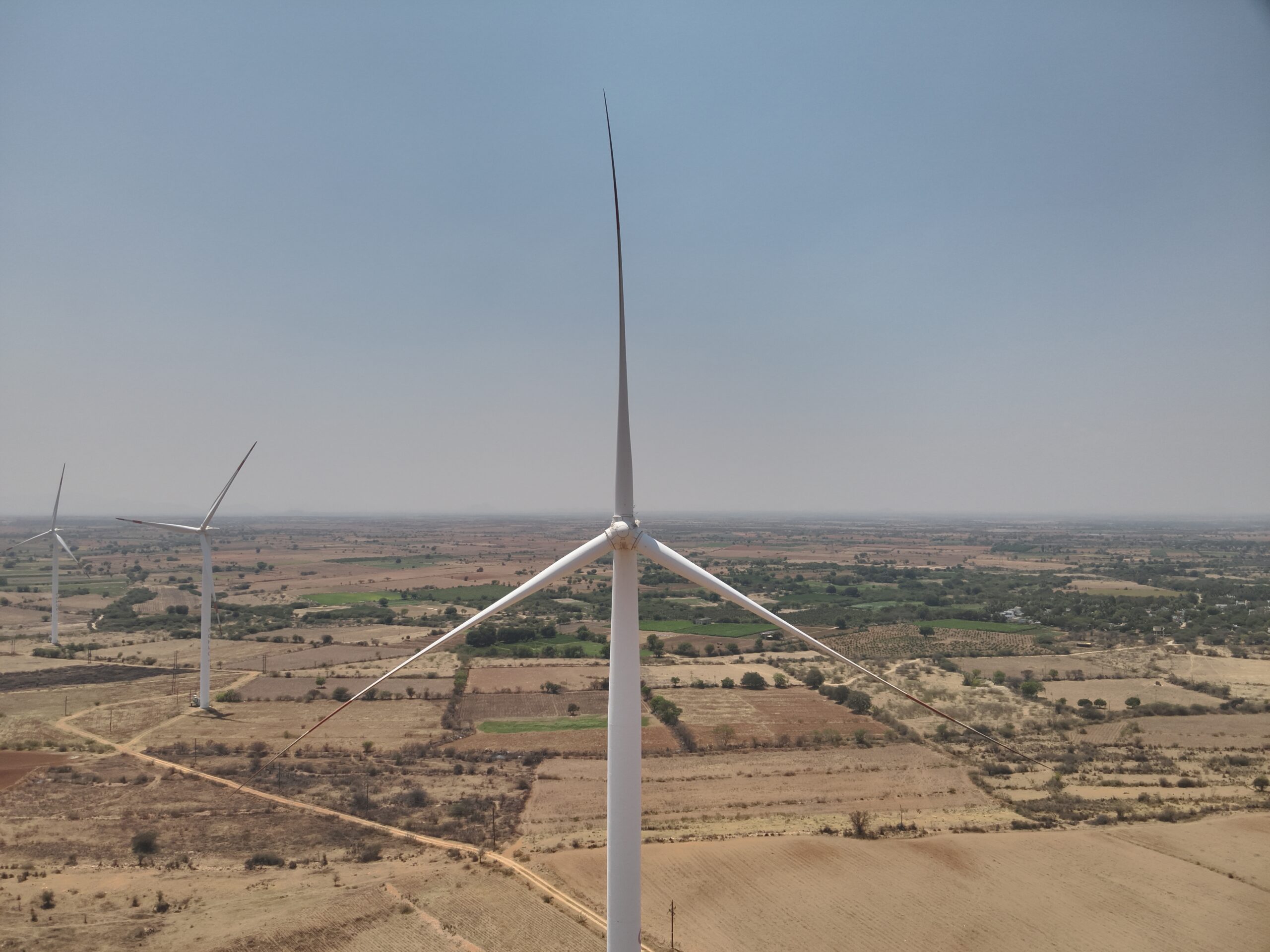
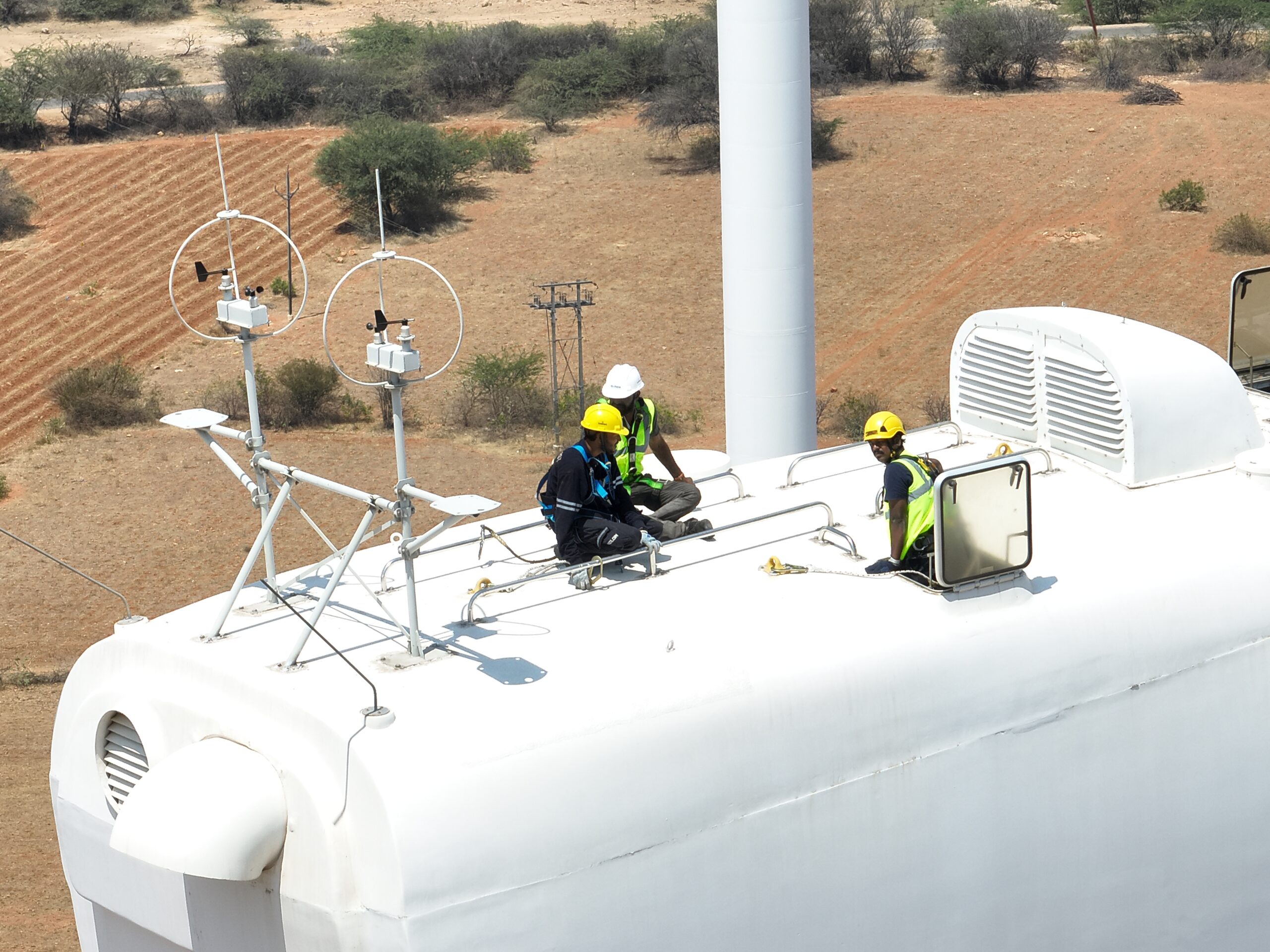
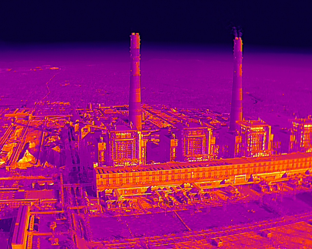
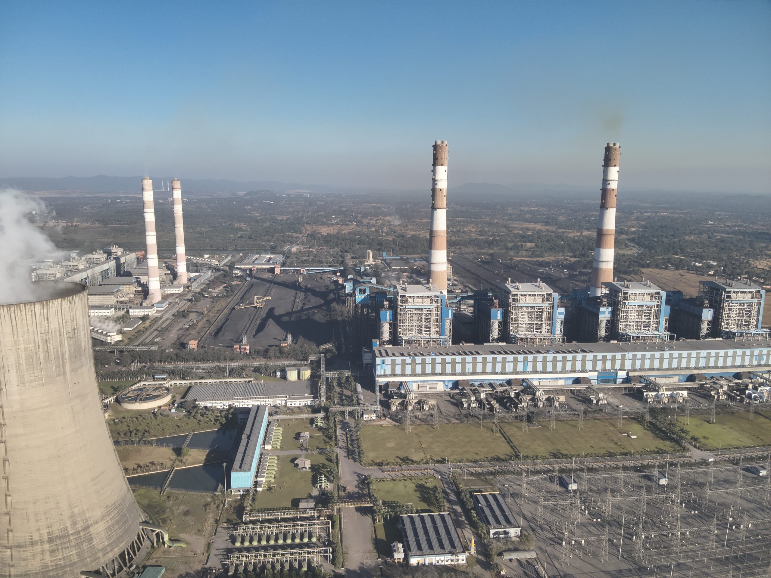
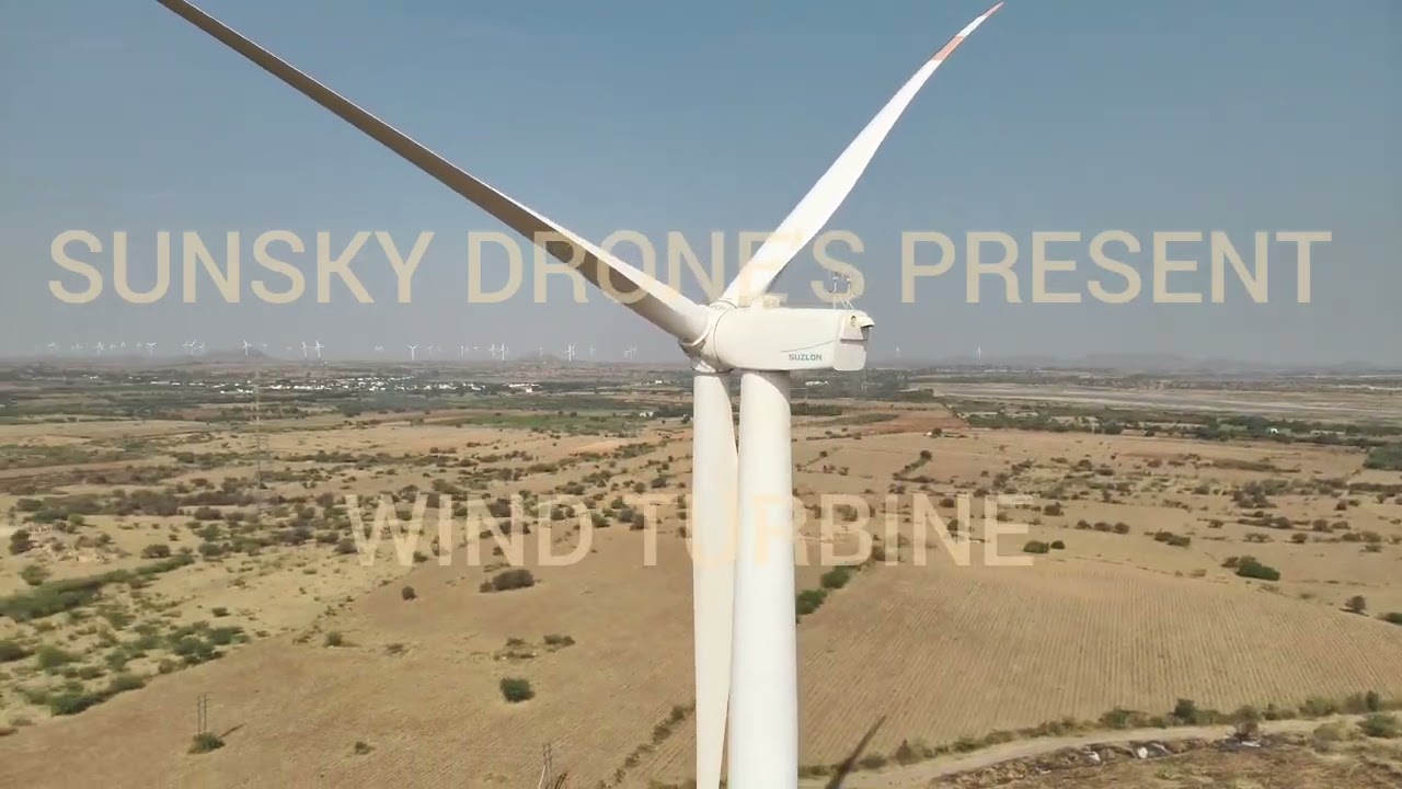
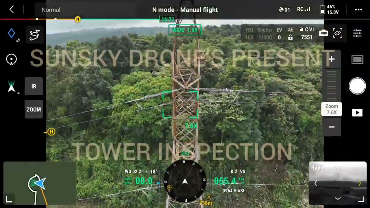
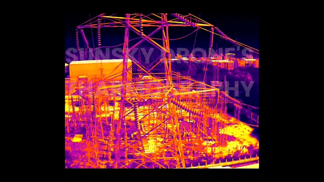
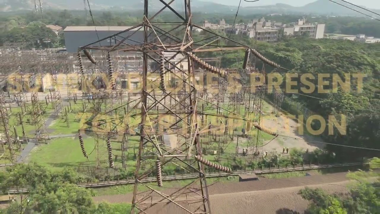
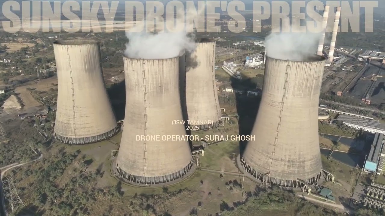
We conduct safe and efficient drone inspections for power plants, transmission lines, bridges, chimneys, windmills, and high-rise structures.
We capture and process RGB, thermal, and LiDAR data to generate actionable insights for engineering, planning, and maintenance teams.
Professional drone videography and photography for infrastructure documentation, promotional visuals, events, and project monitoring.
At Sunsky Drones, we combine advanced drone technology, certified pilots, and data-driven workflows to deliver reliable aerial solutions for critical industries.
We capture high-resolution RGB, thermal, and LiDAR data with exceptional accuracy, ensuring reliable results for inspections, surveys, and mappings.
Our drone inspections eliminate the need for scaffolding, rope access, or shutdowns—reducing human risk while maintaining operational continuity.
Drone-based data collection significantly reduces survey and inspection time, helping projects move faster without compromising data quality.
From infrastructure and energy to agriculture and urban planning, our team understands industry-specific challenges and delivers custom drone solutions.
Empowering businesses with advanced aerial intelligence, we help organizations reduce risk, optimize workflows, and achieve faster, data-driven decision-making.


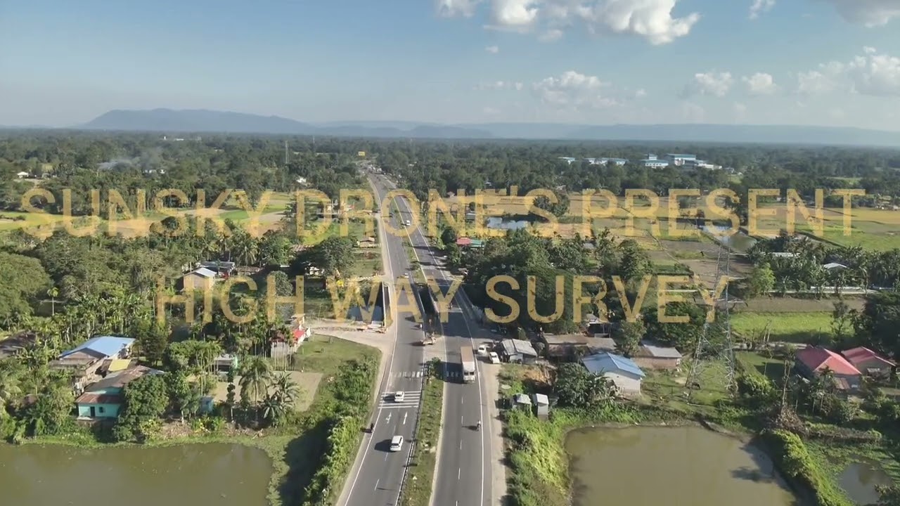
See how SunSky Drones captures real-world aerial data, inspection footage, mapping visuals, and cinematic drone shots for industries across infrastructure, energy, agriculture, construction, and commercial projects.
From urban inspections to remote site surveys, our drone operations deliver accuracy, speed, and safety—wherever your project is located.


Our client’s feedback is valuable to us
Infrastructure Project Manager
Accurate inspection data and quick delivery. SunSky Drones handled our transmission line survey professionally.
Civil Engineer
Their land mapping reports were precise and easy to work with. A very reliable drone survey team.
Solar Plant Operations Head
Drone inspection helped us detect solar panel faults without downtime. Efficient and knowledgeable team.
We follow a structured, technology-driven workflow to deliver accurate, safe, and efficient drone inspection and survey services.
We understand your project objectives, site conditions, and compliance needs to design a customized drone inspection plan.
Our certified pilots deploy advanced drones equipped with sensors to collect high-quality aerial data safely and efficiently.
Captured data is processed using professional software to generate accurate insights, 3D models, reports, or geospatial maps.
We deliver clear, industry-ready reports and visuals that support decision-making, maintenance planning, and project execution.
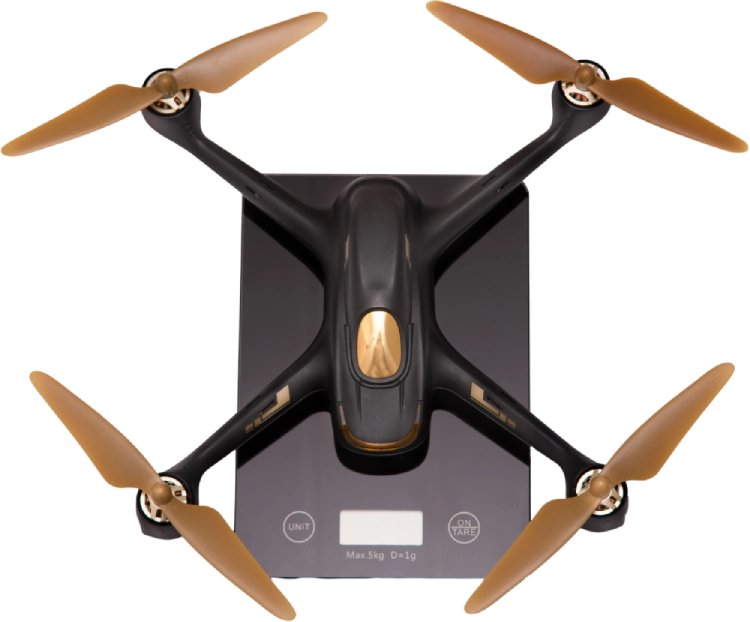
Schedule a professional drone repair consultation with SunSky Drones to diagnose, service, and restore your drone to optimal performance. Our expert technicians handle hardware faults, motor issues, flight controller errors, camera malfunctions, battery problems, and software calibration for commercial and industrial drones.
Whether your drone is used for inspection, surveying, mapping, agriculture, or videography, we ensure reliable repairs using quality components, industry-standard tools, and precise testing procedures.
We focus on safe repair practices, accurate diagnostics, and long-term performance, helping minimize downtime and extend the lifespan of your drone.
Stay up to date with the latest trends, news, and breakthroughs From regulatory updates
Partner with a trusted drone services team that prioritizes precision, compliance, and performance—not just visuals.
Get the latest news, updates, and special offers.